Author
Historical and old photos and pictures of Bournemouth, Dorset

Coat of arms of Bournemouth


Main page • Countries of Europa • Cities of United Kingdom • Cities of England

Historical and old photos and pictures of Bournemouth, Dorset

A small historical reference

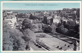
Geography: Bournemouth is a coastal resort town on the south coast of England. At the 2011 census, the town had a population of 183,491. With Poole to the west and Christchurch in the east, Bournemouth is part of the South East Dorset conurbation, which has a population of 465,000.

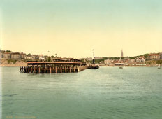
Before it was founded in 1810 by Lewis Tregonwell, the area was a deserted heathland occasionally visited by fishermen and smugglers. Initially marketed as a health resort, the town received a boost when it appeared in Augustus Granville's 1841 book, The Spas of England. Bournemouth's growth accelerated with the arrival of the railway, and it became a town in 1870. Part of the historic county of Hampshire, Bournemouth joined Dorset for administrative purposes following the reorganisation of local government in 1974. Through local government changes in 1997, the town began to be administered by a unitary authority independent of Dorset County Council, although it remains part of that ceremonial county. Since April 2019 the unitary authority has been merged with that of Poole, as well as the non-metropolitan district of Christchurch to create the Bournemouth, Christchurch and Poole unitary authority.

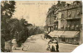
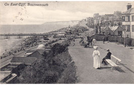
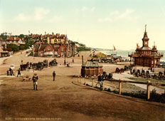
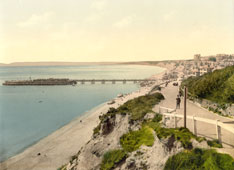
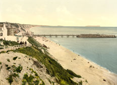
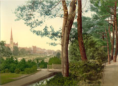
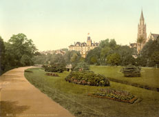
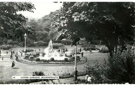
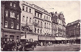
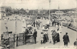
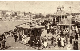
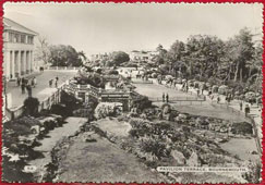
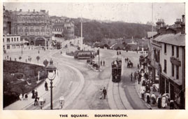
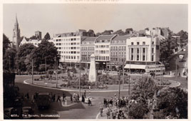
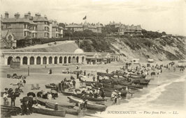
The town centre has notable Victorian architecture and the 202-foot (62 m) spire of St Peter's Church, one of three Grade I listed churches in the borough, is a local landmark. Bournemouth's location has made it a popular destination for tourists, attracting over five million visitors annually with its beaches and popular nightlife. The town is also a regional centre of business, home of the Bournemouth International Centre or BIC, and a financial sector that is worth more than £1,000 million in gross value added.

Date of foundation: 1810

Population: 183 491

Bournemouth. Branksome Chine, circa 1890
Branksome Chine, circa 1890
Bournemouth. Central Gardens, from pavilion terrace
Central Gardens, from pavilion terrace
Bournemouth. Central Pleasure Gardens
Central Pleasure Gardens
Bournemouth. Dingles, House of Fraser, Gervis Place on St Peter's Road
Dingles, House of Fraser, Gervis Place on St Peter's Road
Bournemouth. East Cliff, 1911
East Cliff, 1911
Bournemouth. Entrance to the pier, circa 1890
Entrance to the pier, circa 1890
Bournemouth. Fisherman's Walk
Fisherman's Walk
Bournemouth. From the East Cliff, circa 1890
From the East Cliff, circa 1890
Bournemouth. From the West Cliff, circa 1890
From the West Cliff, circa 1890
Bournemouth. Gardens, circa 1890
Gardens, circa 1890
Bournemouth. Gardens, circa 1890
Gardens, circa 1890
Bournemouth. Gardens and Church, circa 1890
Gardens and Church, circa 1890
Bournemouth. Invalids Walk, circa 1890
Invalids Walk, circa 1890
Bournemouth. Lower Gardens, Fountain
Lower Gardens, Fountain
Bournemouth. Old Christchurch Road from Square
Old Christchurch Road from Square
Bournemouth. On the Pier, 1909
On the Pier, 1909
Bournemouth. On the Pier by the Band - Stand
On the Pier by the Band - Stand
Bournemouth. Panorama of town from the sea, circa 1890
Panorama of town from the sea, circa 1890
Bournemouth. Pavilion Terrace
Pavilion Terrace
Bournemouth. Square, 1907
Square, 1907
Bournemouth. Square, circa 1940
Square, circa 1940
Bournemouth. Square
Square
Bournemouth. Upper Pleasure Gardens
Upper Pleasure Gardens
Bournemouth. View from the Pier
View from the Pier


Robinson Rd, CB 13862 Nassau, NP, The Bahamas
Flag Counter